Cerro Provincia is one of the most iconic hiking routes in Santiago, and getting to the trailhead is surprisingly easy.
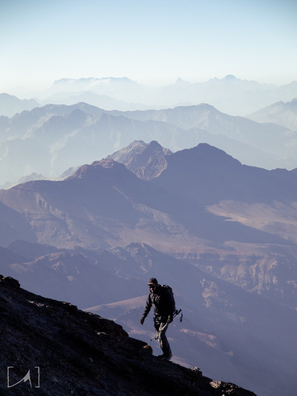
At 2,750 meters above sea level and with over 1,700 meters of elevation gain, this is a physically demanding but deeply rewarding experience for mountain lovers.
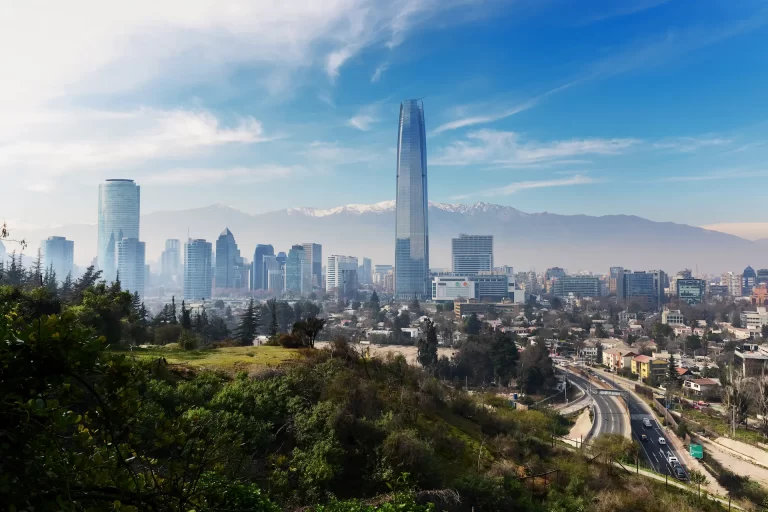
From the summit, the views are spectacular: the entire city of Santiago stretches beneath your feet, the Andes unfold on the horizon, and iconic peaks like El Plomo, San Ramón, and Manquehue rise in all their glory.
Whether you’re training for a bigger mountain expedition or simply looking to connect with nature, Cerro Provincia is a must for anyone who loves the outdoors in Santiago.
It’s also the gateway to the Sierra de Ramón, the mountain chain that borders eastern Santiago and separates the city from the Andes.
Climbing this mountain is a way to experience the city’s living geography: from 2,750 meters, you get a powerful contrast — the dense urban sprawl on one side, and on the other, a natural wall of mountains that stretches south toward Cerro Ramón and Punta de Damas.
This ridge has shaped Santiago’s climate, biodiversity, and development for centuries.
Its versatility makes it suitable for different types of hikers — you can hike it in one day or make it a two-day camping trip, using steeper or more gradual trails.

How to get to Cerro Provincia
There are two main routes to Cerro Provincia, both reaching the same summit but offering very different experiences.
Route 1: Puente Ñilhue (Camino a Farellones)
The most popular route begins at Puente Ñilhue, at the start of the Camino a Farellones road.
It ascends quickly via the northern slope of the mountain. The trail gains elevation from the very beginning, with few flat sections and virtually no shade throughout.
It’s well-marked and preferred by those looking for a fast and intense ascent, often used for training by experienced hikers.
Starting altitude: 1,050 m
Summit altitude: 2,750 m
Elevation gain: ~1,700 m
Duration: 7–9 hours round trip
Access: free
Difficulty: high
Terrain: dry, rocky, fully exposed to sun
Parking: limited
Best for: hikers seeking a physical challenge and wide views from the start
Route 2: San Carlos de Apoquindo (Parque Cordillera)
A more gradual and well-maintained alternative.
This route begins at the Parque Natural San Carlos de Apoquindo, part of the Parques Cordillera network.
Access is through the San Carlos de Apoquindo Stadium, located at Av. Las Flores 13,000, Las Condes.
Once inside the main gate, continue up the internal road until you see a blue sign indicating “Acceso Parque Cordillera.” The parking lot is a few meters past the sign on your left. From there, go through the pedestrian gate to enter the trail.
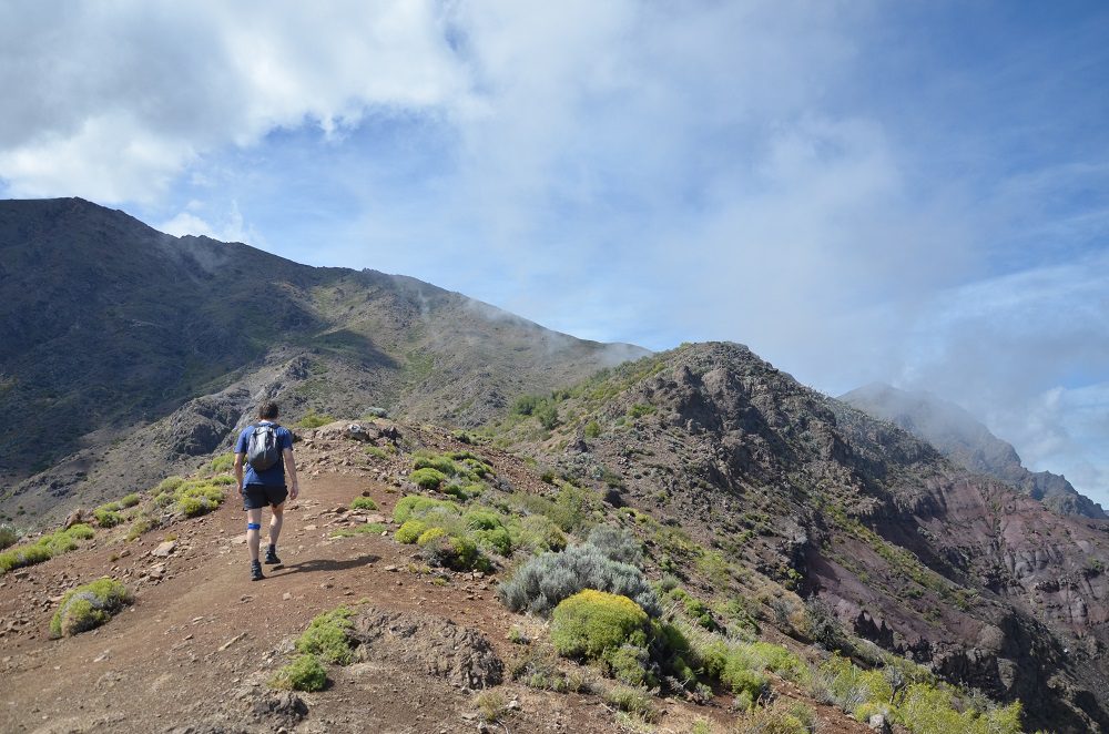
The route crosses native sclerophyll forest and shaded ravines, with a more gradual incline than the Ñilhue route.
It’s perfect for those who prefer a more manageable and well-signposted experience, with scenic stops along the way.
Starting altitude: 1,100 m
Summit altitude: 2,750 m
Elevation gain: ~1,600 m
Duration: 8–10 hours round trip
Access: paid (approx. $3,000 CLP)
Difficulty: medium-high
Terrain: native forest, partial shade
Parking: available on-site
Best for: intermediate hikers looking for a less intense ascent
What to Bring and Recommendations
You don’t need technical gear, but planning and common sense are essential. It’s a long, dry trail with little to no water or shade.
Basic gear checklist
– At least 2 L of water per person (2.5–3 L in summer)
– Sunscreen, hat, sunglasses
– Lightweight windbreaker or jacket
– Hiking shoes with good grip
– Snacks and light food: fruit, trail mix, energy bars
– Trekking poles (optional but helpful for the descent)
Navigation
– GPS apps like Wikiloc, AllTrails, Strava, or Gaia
– Download the route beforehand
– No cell service for most of the trail from Puente Ñilhue
Suggested start time
– Between 6:00 and 7:30 am
– Avoid late starts in summer
– Estimate 7 to 9 hours total
General tips
– Don’t go if there are heat, wind, or storm alerts
– Not recommended to bring dogs
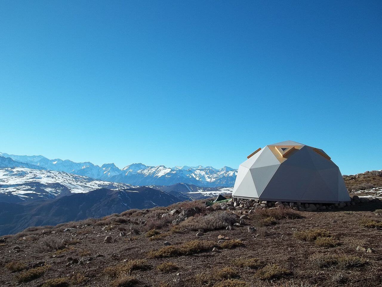
– If camping at the summit, bring insulation, warm sleeping bag, wind protection
– Let someone know your planned route and return time
– Leave no trace: no fire, no garbage, no shortcuts
💡 Tip: If it’s your first time, avoid starting after 9:00 am in summer. Heat and sun exposure can become a real hazard.
Flora, Fauna, and Weather
Though it may seem barren, Cerro Provincia is home to a resilient and biodiverse ecosystem typical of the central Chilean sclerophyllous forest.
Flora
– Quillay, litre, espino at lower elevations
– Chaguales, cacti at higher elevations
– In spring: wildflowers like maravilla del campo and small native lilies
⚠️ Beware of litre trees — they can cause allergic skin reactions.
Fauna
– Culpeo and chilla foxes (often at dawn or dusk)
– Eagles, caracaras, tencas, and other birds
– Lizards and non-venomous snakes
– In summer: presence of yellowjackets
Weather
– Summer: hot and dry; dehydration risk is high
– Spring/Fall: ideal conditions
– Winter: snow or ice may be present at the top
💡 Always check the forecast on Windy or Mountain Forecast before hiking.
Responsible Use and Conservation
Cerro Provincia is part of the Sierra de Ramón biological corridor, a fragile and high-value ecosystem.
Protect it by following these principles:
– Stay on marked trails
– Don’t bring pets
– Carry out all trash (even organic waste)
– No fires
– Don’t pick plants or flowers
– Respect the wildlife and the silence of the place
Climbing mountains can also be a way of protecting them.
Want to hike Cerro Provincia with support and community?
Cerro Provincia is a classic — but that doesn’t mean it’s easy. And like any challenge, it’s better shared.
At Club Ecordua, we organize weekly hikes to various Santiago peaks — including Provincia — where we combine training, nature connection, and community.
– Mountain fitness for all levels
– Guided by experienced, certified professionals
– Conscious pace and great atmosphere
– Organized, early, and safe outings
Whether you’re just starting or training for something bigger, this club is for you.